Millions of travelers across the United States are bracing for potential disruptions as winter storms are forecasted to sweep through the nation during Thanksgiving week. A significant weather system originating from the northeast Pacific is expected to bring a mix of heavy rain, snow, and strong winds, potentially impacting travel plans from coast to coast.
The initial impact will be felt on the West Coast, as an upper-level trough moves inland, carrying a plume of subtropical moisture. Central and Southern California are expected to experience the brunt of this moisture on Monday, November 25th, and Tuesday, November 26th. Coastal areas and the Sierra Nevada region are particularly at risk.
Lower elevations in the southern Sierra, specifically areas below 2,440 meters (8,000 feet), are under threat of flash flooding starting Monday. The combination of excessive rainfall and mountainous terrain raises concerns about rockslides, mudslides, and debris flow, further exacerbating travel difficulties.
Higher up in the Sierra Nevada, heavy snowfall is anticipated. By Wednesday morning, November 27th, accumulations are predicted to reach 0.9 to 1.2 meters (3 to 4 feet), with some localized areas potentially seeing even greater amounts. Travel through mountain passes could become treacherous, if not impossible. As midweek approaches, this moisture plume is expected to shift eastward, impacting the interior western United States.
The Intermountain West and Colorado Rockies are forecast to receive snowfall of 2.5 to 5 cm (1 to 2 inches), with isolated areas potentially accumulating up to 7.6 cm (3 inches). Snow showers are also expected in parts of the Great Basin early in the week. Along the I-25 corridor, travelers should be prepared for snow accumulations of around 5 cm (2 inches) by Monday morning. Reduced visibility due to snowfall will add to the driving hazards in these regions.
Denver will experience a significant temperature drop, with highs ranging from 7°C (mid-40s °F) on Monday to a frigid 0°C (low 30s °F) by Wednesday. While Thanksgiving Day itself might bring a slight chance of snow, current forecasts suggest clearer skies for Friday, November 29th. However, consistently cold temperatures will persist throughout the week.
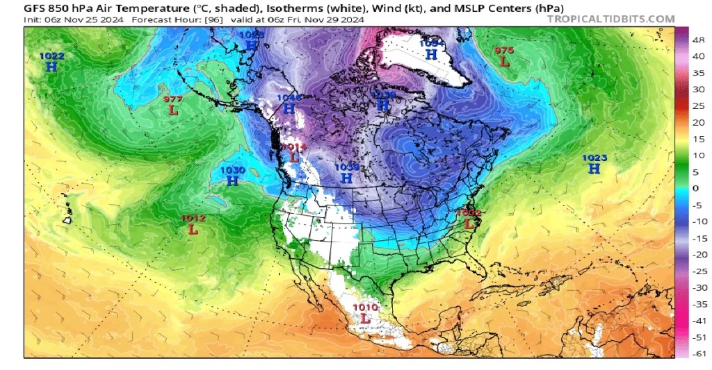 GFS 850 hPa Temperature Graphic
Across the rest of the nation, the Ohio Valley and Upper Midwest are expected to see light rain showers. Northern Minnesota and Wisconsin may even experience snow on Monday, adding to the widespread nature of the winter weather system.
Moving into Tuesday, the Northeast is predicted to encounter localized rain, with light to moderate rainfall expected throughout the day. While the rain could extend along the entire East Coast, this particular system is not anticipated to be severely impactful in these areas. Northern New England might receive up to 25 mm (1 inch) of rain, while southern New England is likely to see 12.7 mm (0.5 inch) or less.
However, snowfall is expected to intensify from late Tuesday into Wednesday, particularly impacting mountain passes and lower elevations. Compounding the snowfall, winds could reach up to 56 km/h (35 mph), creating blizzard-like conditions in some areas. Blowing snow will significantly reduce visibility and make driving extremely hazardous.
Wednesday, November 25th – traditionally the busiest travel day of Thanksgiving week – is predicted to bring the most severe weather to the central states and Rockies. Weather.com meteorologists warn, “Snow could impact travel in Colorado and Utah, including Denver. Meanwhile, a developing wave of low pressure could bring rain to the mid-Mississippi Valley and parts of the Ohio Valley. There might be a sliver of snowfall or wintry mix on the northern fringe of that rainfall.” Fortunately, the forecast suggests that “at this time, it appears much of the East Coast and West Coast will stay dry and avoid any major travel hassles” on Wednesday.
Windy conditions are also expected across the Upper Midwest as the primary storm system moves through the Rockies, bringing further rain and snow showers to the region. The Southern Plains are also expected to experience rain on Wednesday, while Colorado and Wyoming brace for accumulating snowfall.
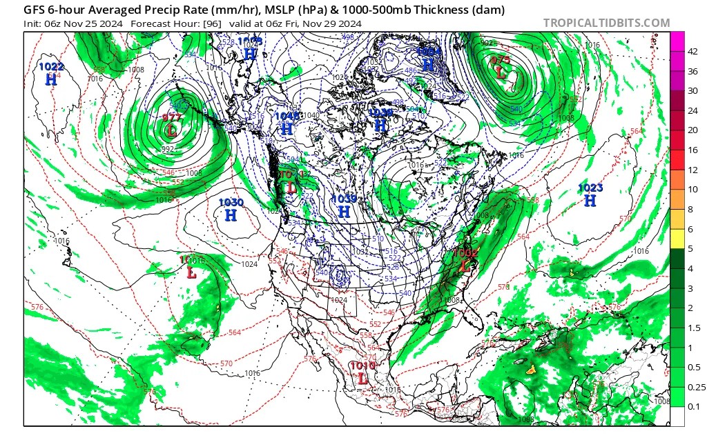 gfs_mslp_pcpn_namer_16
Looking towards the end of Thanksgiving week, a potentially large and impactful storm is predicted to develop and affect the Northeast. This storm is expected to intensify on Thanksgiving Day, Thursday, November 28th, spreading rain across a large swath of the country, including the South, Ohio Valley, and Mid-Atlantic states. Light snow may even develop on the northern edges of this system later in the day.
Friday will see the Northeast directly impacted by this developing storm. While detailed forecasts are still emerging, potential scenarios range from heavy rainstorms with snow in higher elevations to a significant coastal storm that could heavily affect southern New England. Travelers in the Northeast should closely monitor weather updates as Thanksgiving week progresses.
References:
1 Short Range Public Discussion – WPC – November 25, 2024
2 Thanksgiving Weather Travel Forecast: Here’s A Look At Where Rain, Snow Could Interrupt Plans – Weather.com – November 25, 2024
3 Thanksgiving Week Weather in Colorado: Snowstorm to Disrupt Travel Starting Tuesday – Country Herald – November 24, 2024
4 Large storm could impact northeast around Thanksgiving. Here’s what we know. – CBS – November 24, 2024